Fueled by Uncertainty: What It Really Took to Drive America's Most Famous Highway in 1950
Fueled by Uncertainty: What It Really Took to Drive America's Most Famous Highway in 1950
There's a certain romance people attach to Route 66. The open road, the diners, the neon signs glowing against a desert sky. It's become a symbol of American freedom — something you can still drive today if you're willing to hunt down the surviving stretches. But here's the thing about that romantic image: it was built on a version of travel that was genuinely hard. Unpredictable. Sometimes dangerous. And for many Americans, quietly exclusionary in ways that rarely make the postcard.
Let's put two road trips side by side — Chicago to Los Angeles, same general route, separated by about 75 years — and see what actually changed.
Getting Ready to Go: The Preparation Gap
In 1950, planning a cross-country drive wasn't something you did on your phone the night before. It was a project. Most travelers relied on paper maps — often purchased from oil companies like Esso or Standard Oil, which gave them away at gas stations as a customer perk. The American Automobile Association (AAA) was your best friend if you were a member, offering hand-annotated "TripTiks" that walked you through the route turn by turn. If you weren't a member, you were largely on your own.
You'd also want to have your car mechanically inspected before leaving. This wasn't paranoia — it was basic sense. The vehicles of the era were far less reliable by modern standards. Tire blowouts were common. Radiators overheated. Carburetors flooded. Breakdowns in the stretch between Amarillo and Albuquerque, or worse, through the California desert, weren't just inconvenient. They could strand a family for hours with no cell signal, no nearby town, and temperatures pushing 110 degrees.
Today? You open Google Maps, check the weather, maybe download an offline map as a backup, and go. Your car's onboard diagnostics will warn you about problems before they become emergencies. Roadside assistance is one tap away. The friction of preparation has nearly vanished.
The Road Itself: Then vs. Now
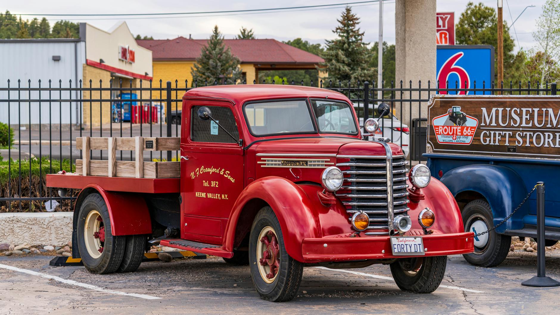
Route 66 in 1950 was not a smooth ride. Large sections were still two-lane blacktop — narrow, poorly lit, and heavily trafficked by trucks and local traffic. There were no interstate highways yet (the Interstate Highway System wasn't signed into law until 1956). That meant no controlled-access expressways, no bypasses around city centers, and no standardized rest areas with clean bathrooms and vending machines.
Driving through St. Louis, Oklahoma City, or Albuquerque meant navigating actual city streets — traffic lights, pedestrians, local congestion. The drive from Chicago to Los Angeles typically took between four and seven days, depending on your pace, your stops, and how cooperative your vehicle felt that morning.
Today, taking I-40 (which largely replaced Route 66) and connecting highways, the same trip can be driven in roughly 28 to 32 hours of pure drive time — achievable in two hard days if you're pushing it, or a comfortable four to five days if you want to actually enjoy yourself.
Finding a Bed: The Part Nobody Talks About
For white, middle-class American families in 1950, finding a motel along Route 66 was straightforward enough, if not always comfortable. Motor courts and roadside motels had proliferated through the 1940s, and a decent room could run you $3 to $6 a night.
But for Black American travelers, the experience was something else entirely. Segregation was still the law across much of the South and an informal but enforced reality in other states. Many motels, restaurants, and gas stations simply refused service to Black customers. The Green Book — formally the Negro Motorist Green Book — was an essential travel guide published annually through 1966 that listed hotels, restaurants, and businesses that would serve Black travelers safely. Carrying it wasn't optional. It was survival planning.
This is the part of the Route 66 mythology that gets quietly left out of the nostalgia. The open road wasn't equally open to everyone.
Today, anti-discrimination laws, chain hotels with consistent policies, and review platforms like Yelp and Google Maps have fundamentally changed the equation. It's far from a perfect world, but the structural, codified exclusion of the Jim Crow era is gone.
Gas, Food, and the Unexpected
Gas in 1950 averaged around 27 cents a gallon — which sounds incredible until you factor in that average wages were also a fraction of today's. The cars of the era also got considerably worse fuel economy than modern vehicles, so frequent stops were necessary. Finding a gas station in rural New Mexico or the Arizona high desert wasn't guaranteed, and running dry was a real risk that required actual planning — not just a glance at your fuel gauge.
Roadside food ranged from genuinely great (the diner culture of Route 66 is legitimately legendary) to deeply questionable. There were no standardized chain restaurants guaranteeing a consistent experience. You ate what was there, or you brought food from home.
What the Chasm Reveals
What's striking about comparing these two trips isn't just the technology gap — it's how much invisible infrastructure now underlies what feels like a casual decision. The satellites guiding your navigation. The safety standards built into your car. The civil rights legislation that ensures a motel can't turn you away at the door. The interstate engineering that transformed a patchwork of state roads into a coherent national system.
When modern travelers talk about "getting off the grid" on a road trip, they usually mean they left their phone in the glove box for a few hours. In 1950, off the grid wasn't a lifestyle choice. It was just Tuesday in the desert.
The romance of Route 66 is real. But it's worth knowing what the road actually cost to travel — in time, in risk, and in who was and wasn't allowed to enjoy it freely.